LINDA’S ARTWORLD

A collection of Linda’s artworks, designs, humanitarian projects and publications where light, space, and mathematical precision intersect.

Tag: Hokkaidō

The northern island — Days 0–30 of the 2022 tour.

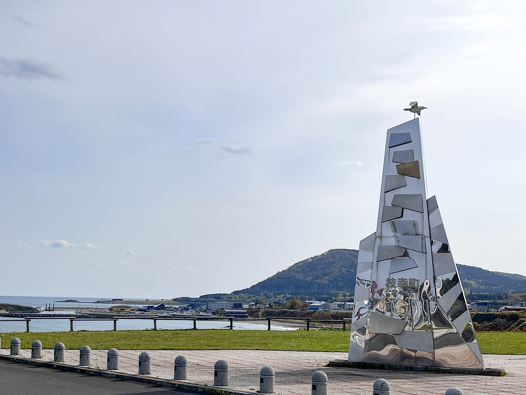
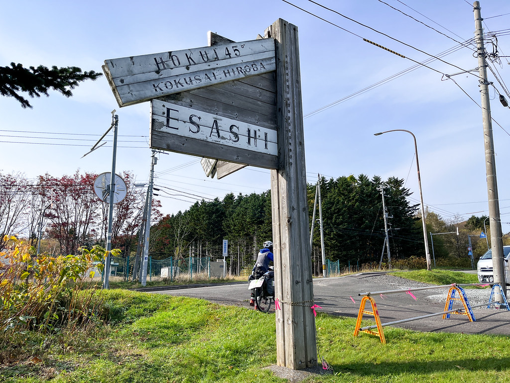
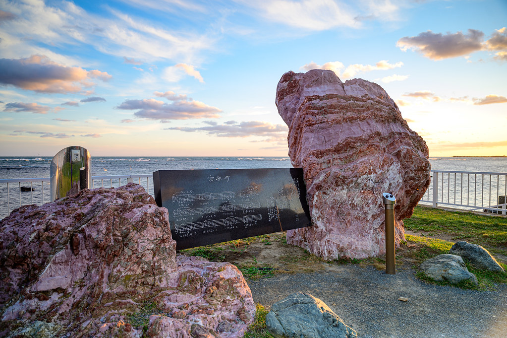
  • Day 10: Hamatombetsu to Esashi

    Date
    2022-10-21, Friday
    Distance
    37.18 km (600 km in total)

    Following the doctor’s recommendation, we finished today’s ride earlier, ending our record of biking in the dark for 3 consecutive days.

    Today’s ride has little to highlight except one nice encounter in front of the grocery store. A lady who had the experience of bicycle touring in Japan came to talk to us (in Japanese) in a friendly manner that is unusual for Japanese people (with a smile and an unblushingly speaking tone). Such friendliness really encouraged us!

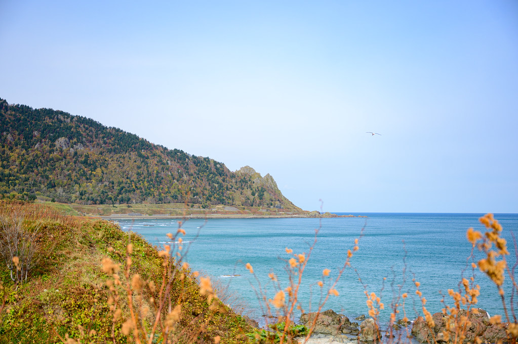
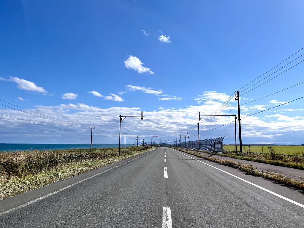
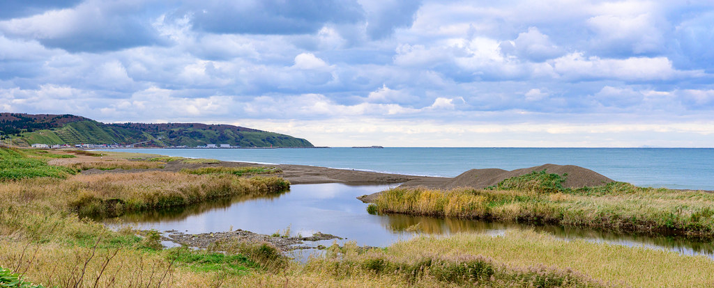
    We biked most of the time along the shore, with the ocean on the left side and the hills on the right. The view is quite majestic but at some point it became monotone.

    This area feels remote still with little to nothing that hints at humanity between the towns / villages. I have wanted to photograph a Japanese fishing village but everywhere was marked with 'Private. No trespassing' sign that's not inviting at all. I have just come to realise that when photographing the fishing boats in Canada, I was probably stepping on private land. However, in Canada, there is rarely such a warning or physical object set to delineate the boundary between the private and the public. When people see me taking pictures, Canadians usually say hello with a smile, making me even less aware of my trespassing. Although Japanese houses don't tend to have fences, the omnipresence of which around country houses was one of my first shocks when bicycle touring in Europe, the heavy presence of the warning signs is quite intimidating to me.

    I noticed that everywhere near the ocean was marked with the elevation of the location. Our guess is that it’s meant for letting people know where to go in case of tsunami evacuation. (Can someone verify our hypothesis?)

    We arrived at the Esashi town centre at 1:20pm to find out that all restaurants are either closed or about to close. Most of the time it felt like a ghost town had there not been occasional passing of the vehicles. I am really curious if most people in this town commute to bigger places to work because there seems to be very little industry remaining here.

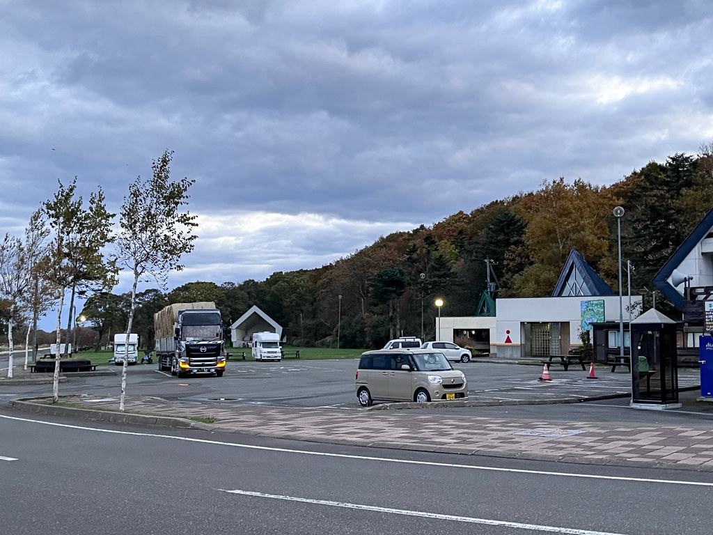
    By 4:30pm, we found a roofed gazebo in a campground that was closed for the season next to the roadside station of Esashi to pitch our tent. The cashier at the roadside station was so caring and afraid that we might get cold by sleeping outdoor as to show us the heated area that will remain accessible to the public after the closing time. Her clear manifestation of care and worry, which may be a rare thing for Japanese people, made me feel really good.

    I did use the heated area to comfortably write my diaries when I woke up at midnight. There is even a vending machine that does the magic of producing hot drinks on the spot — imagine this high technology in a rural town of Japan!

    Ride replay on Relive
  • Day 09: Cape Soya to Hamatombetsu

    Date
    2022-10-20, Thursday
    Distance
    70.04 km (562.82 km in total)

    Here in Cape Soya, the northernmost point of Japan, everything and everywhere claims to be the northernmost: school, restaurant, bus stop, shinto shrine, etc, and even the vending machine!

    We woke up a little after 5 a.m. to catch the sunrise, packed up, and warmed ourselves with a hot bowl of miso soup and coffee. The view of the sunrise is quite spectacular. Even during the early hours at dawn, sporadic visitors keep coming to photograph or be photographed with the monument. I can’t imagine how many people there usually is during the day. The fact that there are 3 public toilets nearby — two down the hill facing each other, one up on the hill — gives hint at the popularity of this place.

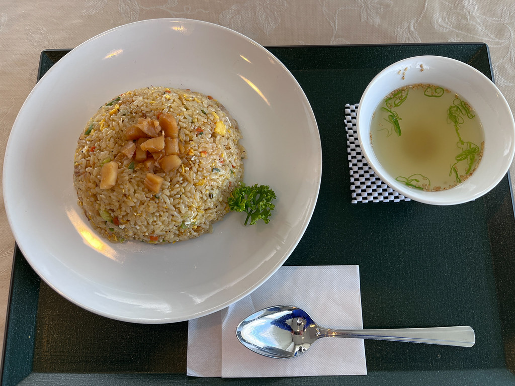
    We also tried the local specialty — scallop ramen — at Japan's northernmost restaurant. After painting two promptly designed posters that state our goal to bike across Japan, we went to mail some unused stuff back home at the post office — of course, the northernmost one. These objects include a camera lens, short sleeve shirts, things that will only be used in Taiwan, and painting tools. We naively thought that we could do some sketches and/or watercolour paintings at the end of a ride or during the rest days — wrong! There is absolutely no leisurely time for this activity, for once the night falls and our ride is done, all that we want to and still have the energy to do is eating, taking showers, and sleeping. So for now, camera remains the best companion for a travelling artist.

    It was nearly 9:30 a.m. by the time we finally hit the road. The coastal roads of Hokkaido are absolutely stunning. Step off the shoulder and you are right at the sea — clear shallows, rocky reefs, and shifting waves. Seagulls and eagles glide overhead or float gently on the water’s surface. It’s breathtaking.

    We were directed by Gooogle Map to a small village called Onishibetsu looking for a pharmacy where I could buy some pain relief cream or medication for my knee pain. We were surprised to learn that the pharmacy no longer existed and after many attempts at communication, I ended up in the hospital being seen by a medical doctor who could speak English. He gave me ‘that look’ when hearing that after I had fallen from my bike, I rode another 300 km in pain to finally seek for medical help.

    My tolerance threshold for physical discomfort seems to be higher than that of average people. I can endure pain, hunger, thirst, physical fatigue, etc. to a larger extent than what ordinary people could possibly tolerate. This is both an advantage and disadvantage. I was able to accomplished two multi-months bike tours thanks to this attribute, yet at the same time I often push myself to the very limit that can be life-threatening — for instance, I nearly lose consciousness in the Prairies due to hypothermia.

    Biking with others, I think, makes me listen more carefully to my body. I am enjoying it.

    My injury is nothing serious. There is no break, I can stand up (thus push most of body weight on my knees), walk more or less normally. It only hurts when I bend my knee to a large degree — therefore pedalling causes pain. The doctor ordered rest, saying it will heal by itself quickly if I don’t bike 90 km a day.

    This prescription is well nigh impossible for me to observe, in that winter is coming, I need to leave Hokkaido as soon as possible. For this reason I am considering getting a lift to Nerumo or from Nerumo to Hakodate, but the likehood for getting such a lift in Japan is really improbable for two reasons. One, Japanese cars tend to be too small for two people plus two bicycles. So far the most common type of semi-trucks I have seen on the road only has two seats. Two, hitchhiking doesn’t seem to be very common in this part of the world. The odds for me to find someone willing who has the right vehicle are very low.

    Hence, the solution we came up with is to reduce the hours spent on the saddle for the moment until I no longer feel knee pain. For the next few days to possibly weeks, we will travel at a slower pace. Luckily, according to weather forecast, it’s not getting much colder too soon.

    Another medical doctor saw my Canadian flag on my bike and came to speak to us. He doesn’t seem to speak much English but was so nice that he said he had ‘medicine’ for us. While we were expecting things ranging from pain relief cream or energy gel, he brought us a tons of 500-yen coins to use when we need. This is really good medicine! Honestly, we were floored by his generosity and warmth.

    At night we went back to camp in the companion of countless lousy piggy swans that squawked all night in Hamatonbetsu.

    The full take — 29 more photographs from this day
    DSC_3835-Edit DSC_3846-HDR IMG_1760 IMG_1761 DSC_3864 DSC_3865 DSC_3869-HDR IMG_1764 IMG_E1765 DSC_3878 IMG_1766 DSC_3880 DSC_3885-HDR DSC_3887 IMG_E1772 IMG_E1774 IMG_1777 IMG_E1776 IMG_E1779 DSC_3897-Edit-2 IMG_E1784 IMG_E1786 IMG_1789 IMG_E1791 IMG_E1793 IMG_1795 IMG_1797 IMG_1799 IMG_E1801
    Ride replay on Relive
  • Day 08: Hamatombetsu to Cape Soya

    Date
    2022-10-19, Wednesday
    Distance
    63.3 km (492.78 km in total)

    Today we finally went to Cape Soya, the northernmost point of Japan, where we were supposed to officially start our journey a week ago according to our original plan. Due to an issue with the train, we ended up biking an extra 500 km from Sapporo northward to this starting point.

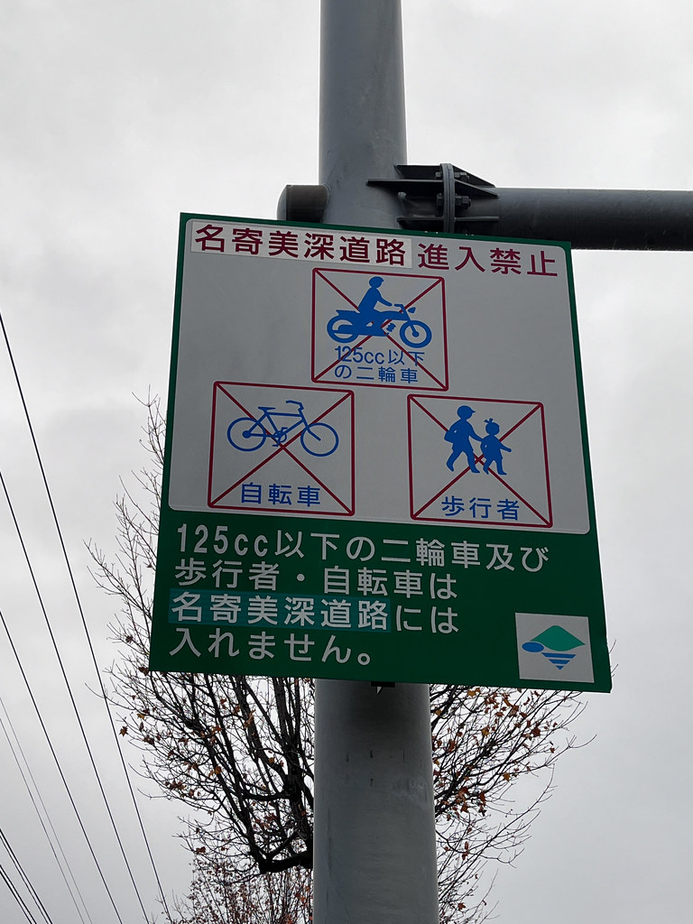
    We passed through a very rural area along the shore, where the population is sparsely distributed. It finally feels much more like Canada's population density, which I am used to but which my Taiwanese friend finds so foreign. As the traffic got lighter and lighter, we were more and more into the very heart of Hokkaido. Yet even in this remote area, there is sometimes a sidewalk along the road, which I am not sure for whom it was paved.

    I was surprised to see so many dairy farms — in fact, most land in this area is pasture presumably used for grazing — that are located so close to the ocean. Doesn't the soil become very alkaline by consequence? It's impressive that they can grow so large an expanse of grass to produce Hokkaido's impressively rich-tasting milk!

    By noon, we reached Sarufutsu, which claims to be the northernmost village of Japan founded roughly 100 years ago. The first kanji of the village's name saru means monkey in Japanese, and the second one is incomprehensible for a Chinese-language speaker, thus we have given this village the nickname of monkey village (猴子村). At the only 'standard' restaurant, we ordered 3 servings of food for the two of us. The waiter must have been shocked to see empty plates in the end!

    The last stretch of the road includes some horrible hills to climb in extremely windy condition. The wind up north along the coast is brutal. A quick check showed that the Japan Meteorological Agency had issued a strong wind warning — which explains why it felt like we might actually take off into the sky.

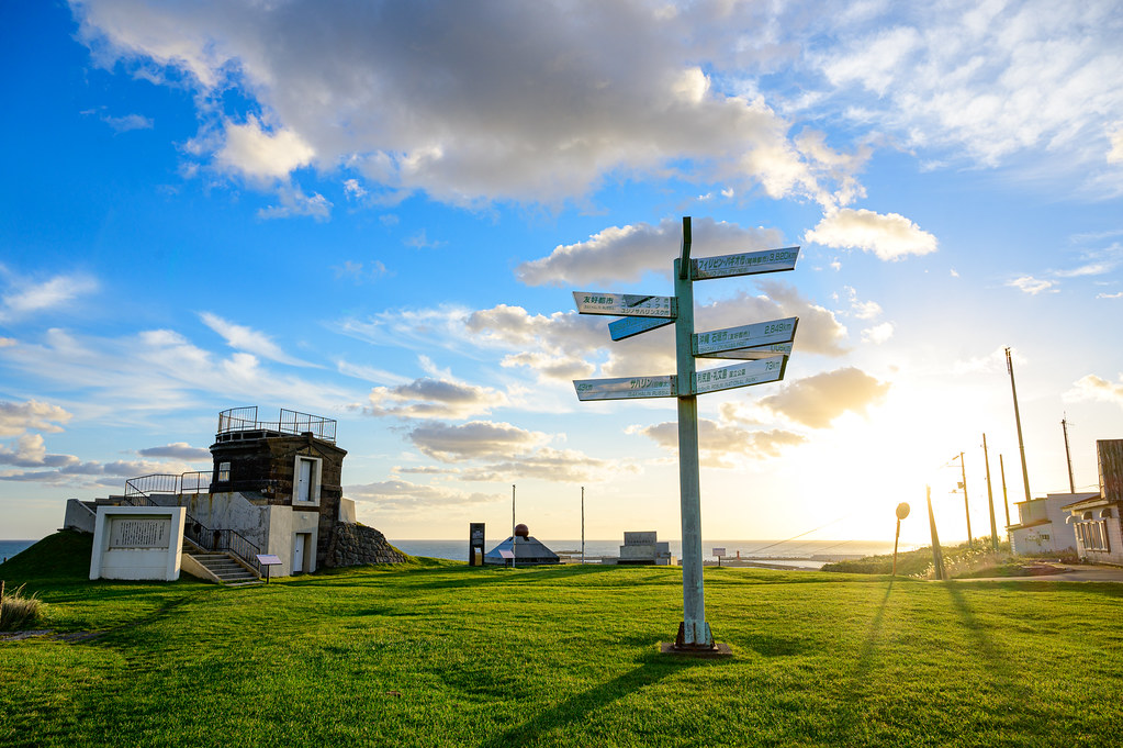
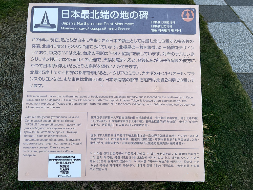
    However, the view of the ocean from the top is so rewarding that it makes us forget Mother Nature's caprice. We reached the monument of the northernmost point of Japan at dusk (aka the blue hours) to find out every facility except the washrooms was closed and/or locked. We sneakily found a spacious bus shelter that had roof and door to prevent us from being blown away by the increasingly strong wind (the speed of which was at least 70 km/h, possibly up to 100 km/h), and decided to call it home for tonight, despite the visible warning on the wall that stated this place could not be used for purposes other than waiting for the bus. Lazy to cook, and still full from lunch, we purchased warm soups and drinks from the vending machine and then wished each other a good night of sleep.

    P.S. We saw several Ezo deers today. They just stare at us like they are trying to decide if they should run. A bit silly, when they do flee, their fluffy white tails on the butts bounce away in a surprisingly cute way.

    The full take — 21 more photographs from this day
    IMG_1642 IMG_1645 IMG_E1648 IMG_1650 DSC_3744 DSC_3750 IMG_E1654 IMG_E1660 IMG_1662 IMG_E1664 IMG_E1667 IMG_E1669 IMG_1689 DSC_3756 IMG_1701 DSC_3765-HDR DSC_3769-Edit DSC_3790-Pano-Pano IMG_1710 DSC_3803 IMG_E1715
    Ride replay on Relive
  • Day 07: Bifuka to Hamatombetsu

    Date
    2022-10-18, Tuesday
    Distance
    93.32 km biked (492.78 km in total)

    From Otoineppu northward, we have the choices to go to Wakkanai via National Route 40 then head to Cape Soya or to bike along the shore to get to Cape Soya. We choose the latter, for even though we are curious how the northernmost city of Japan looks like, we don’t want to delay our journey further. Snowing season is approaching.

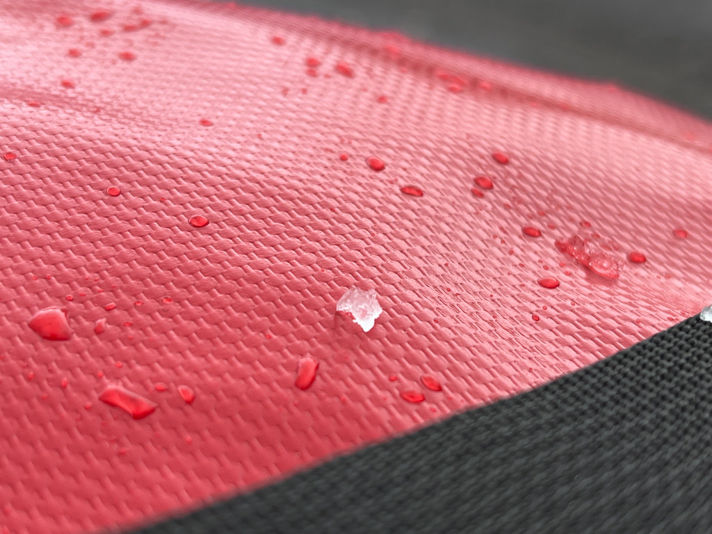
    Light showers have been on and off since this morning when we embarked from Bifuka. The weather in this part of Hokkaido is absolutely wild. Not long after we resumed our biking ritual, the skies cleared — just enough for us to take off our rain gear — only to be pelted in the face by a sudden hailstorm. As we scrambled to put our gear back on, the sun popped right out again. After getting played by the weather too many times, we finally learned our lesson: by the afternoon, we were bundled up tight for the long ride north.

    I think we are getting more and more accustomed to biking after sunset. We are lucky in that it seems that most people are heading to Wakkanai via National Route 40 from Otoineppu so National Route 275 we picked had very light traffic. This is particularly a bonus when we climb a hill and need space to take a break. When I was climbing a hill, always in the rain, a car tooted and pulled out next to me, then a couple handed over me a bag containing hot tea and snacks and said: ‘Take this. Drink it. It’s warm. 頑張ってね!(Ganbatte-ne!)’ This gesture of kindness immediately made us so encouraged and grateful! It feels really good to have someone showing us support on an unusual journey.

    There are many signs on the road warning people to be mindful of animal crossing. We find it funny that in Hokkaido, these animals include deers, bears, and even domestic cows!

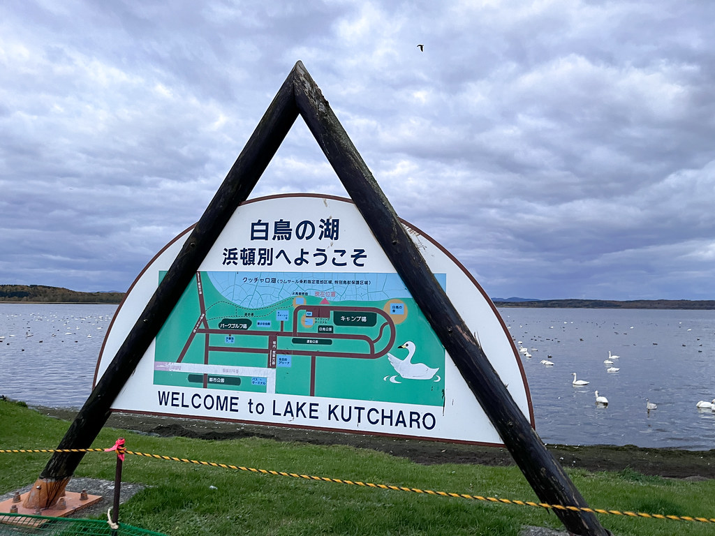
    We were able to make it all the way to Hamatombetsu by the end of the day. On this rainy night, we found a shelter, which is a roofed stage, in a park next to a lake. The lake is truly a swan lake — there are countless swans warbling on the surface of the water, making a lot of noise at night. We have come to called this place 'Piggy Swan Lake' (豬天鵝湖) and these creatures ‘piggy swans’ because the mascot of this town is a pig embedded inside a swan, resulting in a weird looking fusion that's meant to represent ‘the fairy of the lake’ (湖の妖精). It’s by far the least flattering mascot I have ever seen in my life! These piggy swans are so loud at night that my friend thinks its icon was designed in such an ugly way because the locals hated them.

    We also took advantage of the fact that an onsen hotel was located nearby to have a warm shower and a bath in the hot spring. Let’s hope it does good to my left knee!

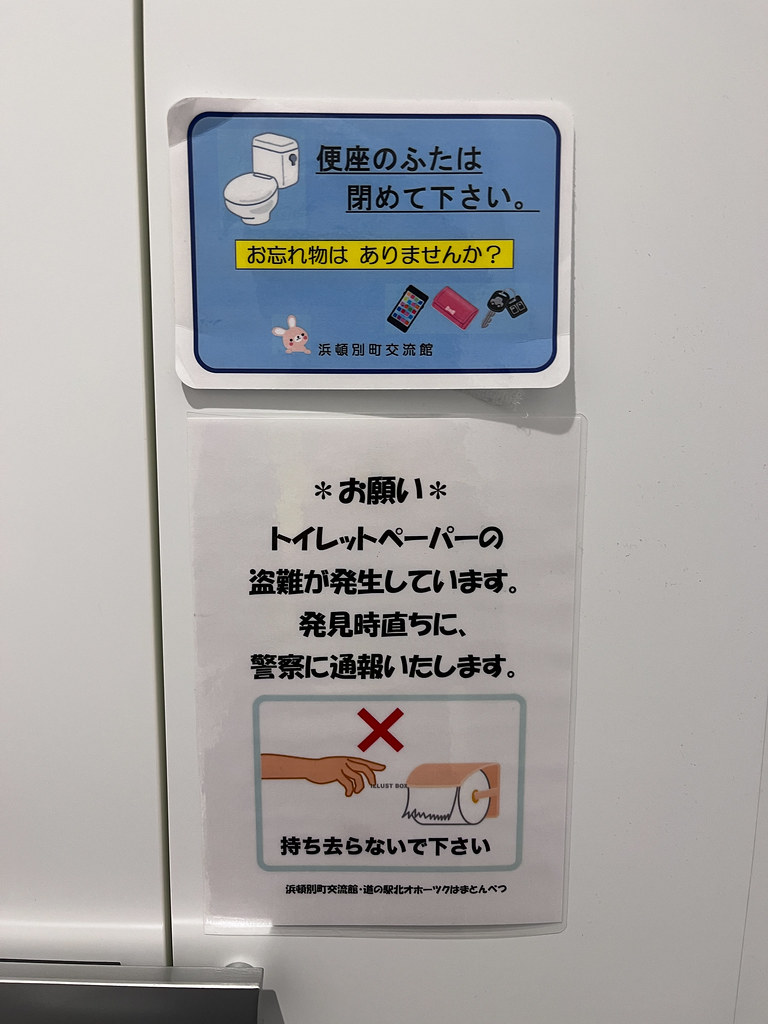
    Another peculiarity about Japanese people’s obsession with cleanliness is that in most public toilets I have been to, signs are everywhere to teach users on how to flush the toilet. They require that in order to ‘prevent the spread of the germ’, the toilet lid be closed before flushing. And the toilet seat be disinfected using appropriate materials. I don’t understand how this way of flushing the toilet helps to prevent the spread of the germ. Can someone tell?

    Ride replay on Relive
  • Day 06: Pippu to Bifuka

    Date
    2022-10-17, Monday
    Distance
    91.36 km (336.16 km in total)

    Right now the sunrise in Japan is close to 6 am. At 4 pm the sun is setting and by 5:30 pm it becomes completely dark. We try as much as possible to get up early around 5:30 am but packing stuff really takes time. No matter how we try, the earliest time we start our daily cycle is 6:30 am. As the day gets shorter and shorter, we will have bigger and bigger chance to have to bike in the dark, which should be avoided.

    This morning in the park a group of elderly men playing gatebal asked what we were doing and where we came. This is the second interaction we have with random locals. I lament at that my Japanese is not good enough to carry the conversation forward. I would very much like to know what the main industry is in this town, what people do outside of works, what they think about their hometown, etc. Alas!

    I have been experiencing right knee pain since yesterday. A knee supporter was purchased in the hope to palliate my pain.

    We started our day by strolling around the area through secondary country roads. There was no shoulder but no traffic either. The ride feels like what I have always imagined for Hokkaido: tranquil and leisurely. However, the GPS led us to take unpaved roads that were horrible to cycle through, thus we choose to stay on a bigger road, National Road 40. As a city child, I grew up being used to biking alongside cars. It’s been almost a week that I came to Japan; I find myself often preferring to bike on the road despite the heavier traffic because the sidewalk’s condition is not always very good. Sometimes it’s too narrow, often there are a lot of cracks and bumps that make the ride not so smooth (and my eyeglasses jumping up and down), and sometimes there can be one-metre tall dense vegetation growing in between the fissures. Overall, the road tends to offer a more pleasant cycling experience.

    Japan is very clean. Everywhere. The government really make tremendous effort at preventing birds from attacking the garbage. Household garbage needs to be deposited in a close metal bin near the sidewalk, and there is virtually no garbage bin in the public space. Most of government-ran facilities ask visitors to bring garbage back. From the local’s point of view, this may cause little trouble, but for foreign visitors such as us, this is utterly inconvenient. We sometime have to bike 20 km with our garbage to discard it at a convenience store.

    On the roadside, every now and then we can see a statues of bodhisattva (a person on the way towards enlightenment / Buddhahood; more or less equivalent to a saint in Christianity) to whom people pray for road safety. Some of them even got dressed up and were offered food, drink, and money — very kawaii.

    Today the rain kept going on and off; there was storm alarm in the area. After cooking the lunch in Tsukumo Suigo Park in Shibetsu, the rain became steadier and heavier. Our waterproof gears kept us dry and warm. Rainy weather is perfect for something spicy — so we made Shin Ramyun! (Most Japanese instant noodles are miso or soy sauce-based, but today we wanted heat.) We added canned venison and cheese to make a deeply satisfying meal.

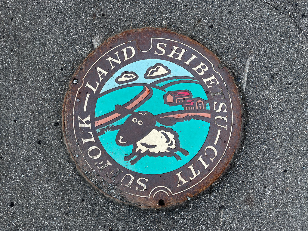
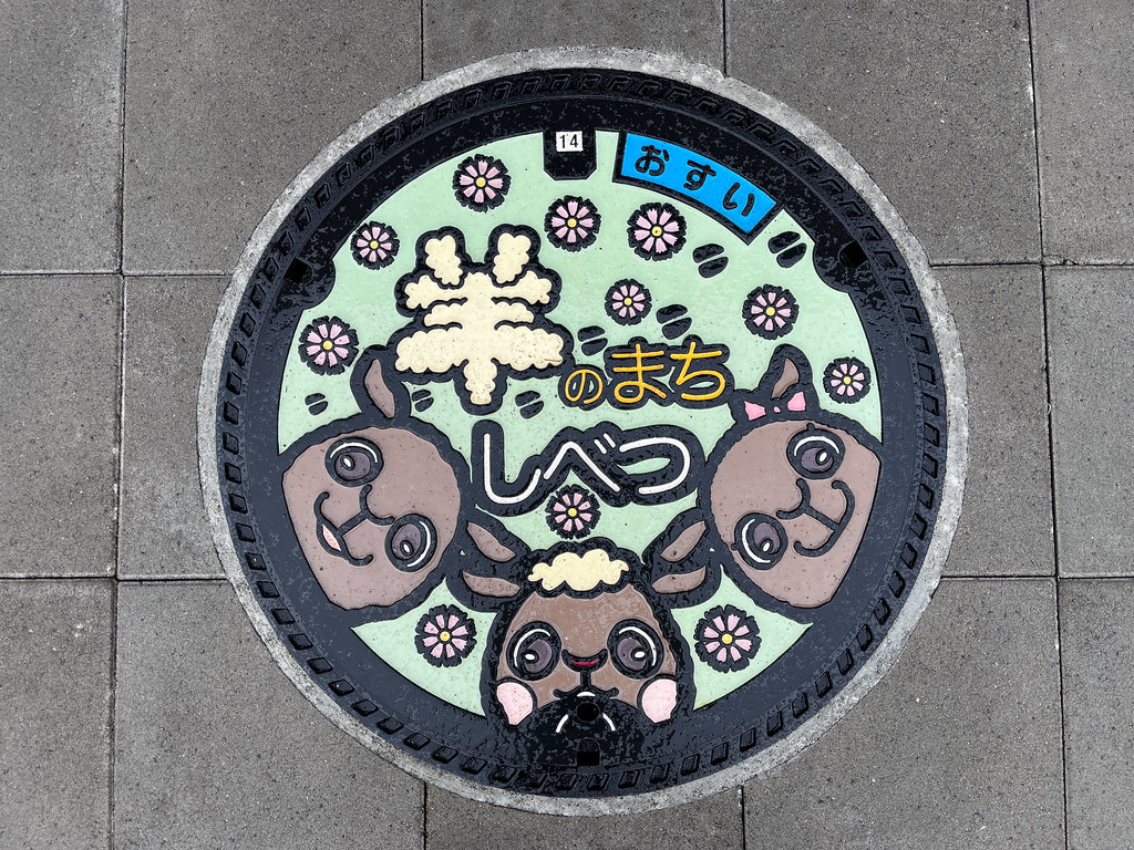
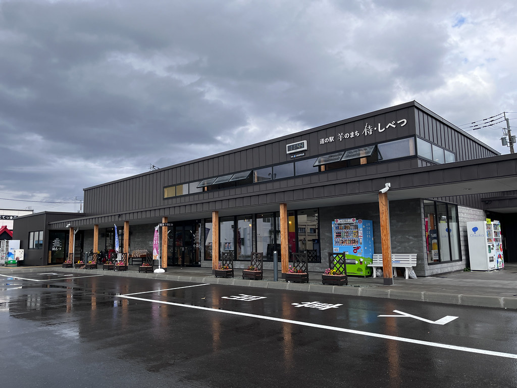
    The roadside station in the ‘sheep town’ Shibetsu deserves a special mention: it offers free charging that no other station offers. I was so grateful that I bought a locally made souvenir as a gift for my younger sister.

    Today is our first time biking after the sunset as we tried to reach hotel located in a small town called Bifuka. The experience would have been more pleasant had there not been a huge hill of 7-8% of incline for 2 km. Luckily, there was not many traffic; we were able to stop by the roadside whenever we needed a rest. Thankfully to my friend who oversaw that the rain wouldn't let up and that we would need to charge everything and dry our gear — we had a warm and dry place to spend the night.

    We appeared to be the only visitors who arrived at this traditional Japanese inn by bike, and perhaps one of the rarest foreigners they have ever received. This hotel seems to welcome mostly Japanese people on a business trip, so people don’t speak very much English here.

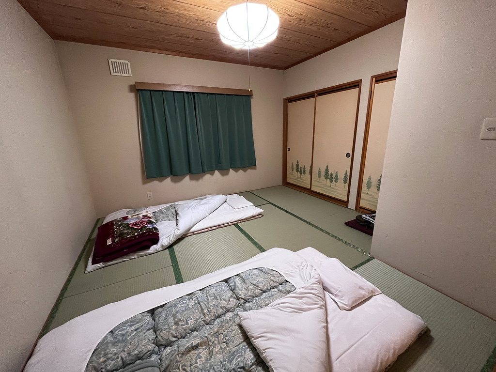
    Japanese like to compartment things. Our hotel is built in the traditional Japanese style furnished with tatami and separated by doors into a living room, a bedroom, a toilet and a bathroom. Open space doesn’t seem to be a common Japanese style. The dinner, also in the Japanese style, is exquisitely arranged into many plates. I wonder why they should like to keep food in so many compartments — aren’t there many dishes to wash? People here are really obsessed with cleanness. We must switch to indoor slippers when entering the dinning room. The staff would put your shoes beautifully lined up in the right orientation if you leave them in disorder.

    On a side note, this afternoon I accidentally collided with my friend and fell from my bike. Although nothing appears wrong at the moment, this will have consequence in days to come ……

    Ride replay on Relive
  • Day 05: Biei to Pippu

    Date
    2022-10-16, Sunday
    Distance
    62.87 km (244.8 km in total)

    In the morning when we were packing our stuff, a Japanese couple said hello to us. Later the man spoke to us, making himself the first random person to interact with us in Japan. Though the chat was short, we felt being welcome.

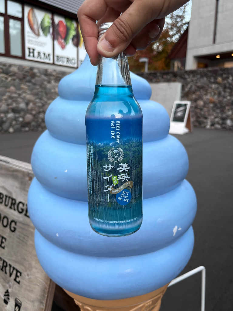
    The ride to Aoi Pond is an easy one on dedicated bike path. This attraction truly lived up to the hype. The water of the pond, like the name suggests, is of blueish turquoise colour. It appears to be a popular shooting location: one lady even brought her rabbit as model to pose in front of the pond. If I had the luxury of time, I could easily spend an entire day watching the light and shadows dance across the surface of the lake. But the road calls — we had to keep pushing north!

    Nevertheless, we still dropped by the nearby Shirogane Dam (四季彩湖) which is actually closed for visitor, but we ignored the sign and ran into two locals who also broke the rules by going, discreetly they said, for fishing in the area. The old man told us to watch out for bears and showed us his alarm that produced very loud noise that he used to scare wild animals away. This is not discreet at all!

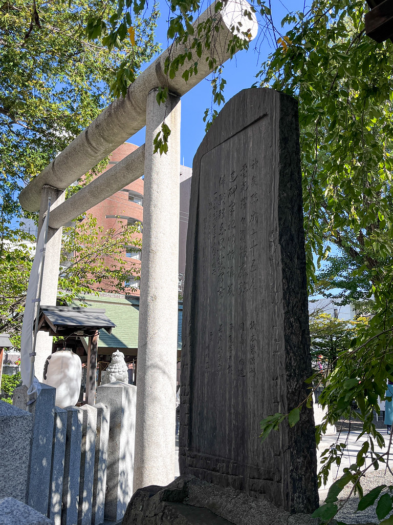
    On our way passing by the town centre of Biei, we visited the Biei Shrine. I purchased their shuincho (御朱印帳) to start collecting the seal stamps given to visitors that meant to be a special kind of prayer. A shuin is composed of a large red-inked stamp and a calligraphic writing that says the name of the temple/shrine and the date of the visit, together with other markings distinct to each shrine/temple. It’s a very beautiful tradition.

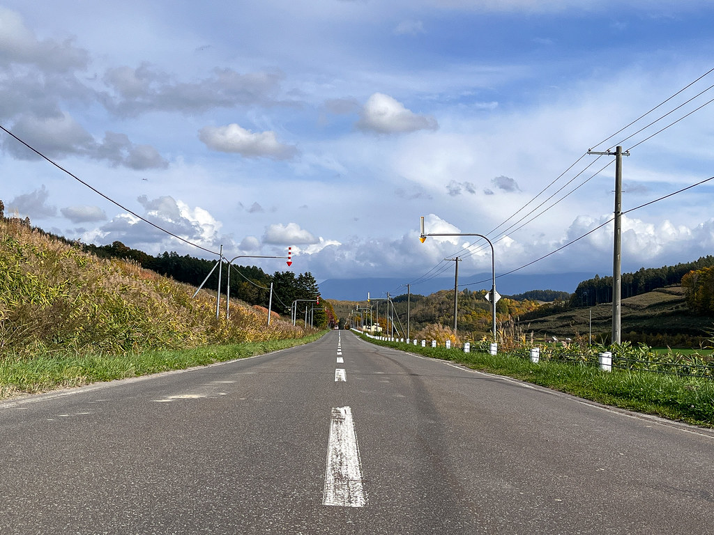
    After a few days of bad experience of passing through unpaved segments suggested by both Komoot and Google Map, we learned to stick on the main roads that are guaranteed to be paved. The traffic is heavier, however the majority of these roads have, strangely, paved ‘sidewalk’ that are wide enough for cycling. When there is no such sidewalk, we would bike on the side of the road with caution.

    In the afternoon, near Asahikawa, we ran into Chou (周俊廷), the Taiwanese guy whom my friend met in the airport and who also set to cycle across Japan starting on the same day as us. Contrary to us, he was able to book a flight to Wakkanai to start his journey southward, whereas we struggled to make our way to the northernmost point of Hokkaido. This is his second time cycling across Japan in order to visit the 100 or so castles of Japan. He claimed to receive many encouragements thanks to his gigantic poster fixed at the back of his bike that stated: ‘A Taiwanese biking across Japan, from Wakkanai to Okinawa’. Drivers would make a little melody to cheer him up and people would come to offer him food and drink. This makes me very envious as I too want to interact with the locals. Time to upgrade my Canadian flag!

    Today I also learned that Hokkaido farmers still burn the remains of the crop to fertilise the soil, so sometime the air smells smoke. This is an old method of farming; so am not sure if it’s environmentally friendly — any thought?

    To pass the night, we found a discreet spot in the park in a small town beyond Asahikawa called Pippu. I was constantly afraid of being noticed and then kicked out of our tent, whereas my friend was much more composed. She even went for a bath in the public bath while I was falling asleep in the tent. I woke up at midnight, and toured around the town to find a public toilet. To my surprise, the toilet is an old-styled squat toilet, not a sitting toilet with electronic bidet that I have encountered mostly in public setting in Japan. This is really a small town that lacks the budget!

    The full take — 31 more photographs from this day
    IMG_1364 IMG_E1366 DSC_3630-HDR DSC_3643 DSC_3647 DSC_3652 DSC_3670 DSC_3688 IMG_E1376 IMG_E1379 IMG_1381-Edit DSC_3691 DSC_3695 DSC_3696 DSC_3699 DSC_3701 DSC_3702 DSC_3703-HDR DSC_3708 DSC_3710 IMG_1391 IMG_E1393 IMG_1394 IMG_1398 489877837_24168415532745380_8752906107520325396_n IMG_1402 DSC_3711 DSC_3716 DSC_3734 IMG_E1405 IMG_E1406
    Ride replay on Relive
  • Day 04: Kamifurano to Biei

    Date
    2022-10-15, Saturday
    Distance
    26.76 km (181.93 km in total)

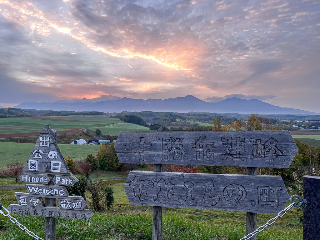
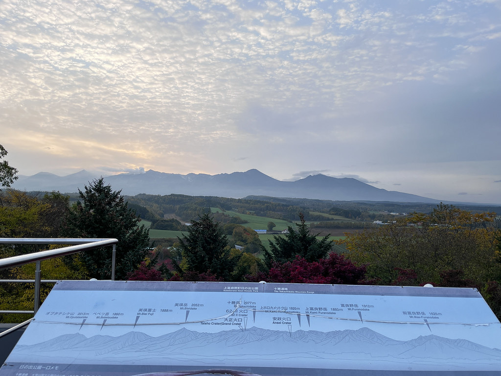
    I would have waken up to the splendour of a spectacular sunrise had it not been cloudy at dawn. The panoramic view from the top of the hill is truly spectacular: you can see the mountain range from afar and the town beneath it. By the time my friend woke up, there was a bit of sunny break. We went up the hill to ring the bell that is supposed to bring us good luck and wish for a safe travel.

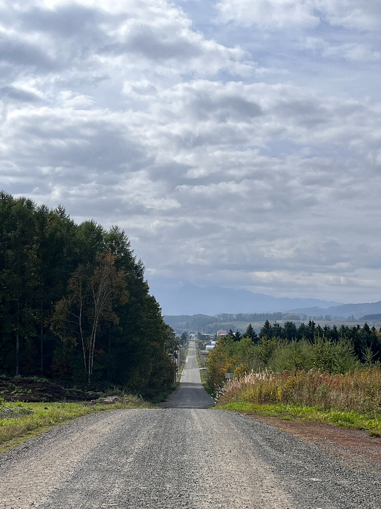
    As we were biking to see the famous Shikisai no Oka (四季彩の丘) located in Biei, which claims to be the most beautiful town in Japan, both Google and Komoot suggested us to take unpaved gravel and sometime rocky roads. We got sick of it that we eventually biked on bigger roads.

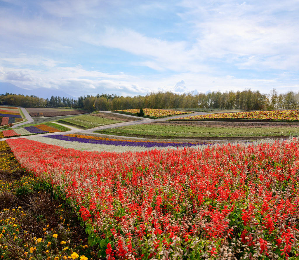
    Entry to Shikisai no Oka is free from October to June during the off-season. Many people still come to see the beautiful hills that are alive with breathtakingly vibrant display of many flower varieties. The scenery is so beautiful in October that I can’t imagine how much more so it would be in the summer with all the flower blossom.

    Then we bike in the direction of Aoi Pond (青い池). It’s all the way uphill with some short sections at 7-8% and even 10% of incline. But overall the ride was feasible even with heavy load if we go slowly.

    Upon our arrival at the roadside station that is just 2 km away from the pond, we were told that all camping facilities were closed for the season and it’s forbidden to camp at this station. The staff suggested booking an onsen hotel 5 km away. However, we decided to call this place our home for tonight because we saw several stationary camper vans on the site — one of them was even setting fire! If cars are allowed to stay here, bikes should be so as well, we thought.

    This roadside station is a fairly big one with well-equipped shower, washing and drying machines available until 4:30 pm. We took a quick shower, ate hamburgers as dinner while waiting for the station to close at 6 pm. By that time it started raining — this is the first rain we encountered on this journey — but the rain didn’t last long. First we set up our tent in between the camper vans but another camper came to speak to us. With a mixture of Japanese and English, we understood that this spot was reserved for cars and reservation was required. So we moved to another area near the washroom. No one came to bother us again and we called it the night.

    The full take — 35 more photographs from this day
    DSC_3280-HDR IMG_1270 IMG_1271 DSC_3319 IMG_1275 IMG_1276 DSC_3443-HDR-Pano DSC_3514-HDR-Pano DSC_3522 DSC_3523 IMG_1296 DSC_3531 DSC_3532 IMG_1303 IMG_1305 IMG_1306 IMG_E1317 DSC_3538-Pano DSC_3547 DSC_3548-Pano DSC_3557-Pano DSC_3561 DSC_3571-Pano DSC_3581 DSC_3604-Pano DSC_3610 IMG_E1345 IMG_E1347 IMG_1349 DSC_3619 IMG_1351 IMG_E1352 IMG_1356 IMG_1361 IMG_1297
    Ride replay on Relive
  • Day 03: Naie to Kamifurano

    Date
    2022-10-14, Friday
    Distance
    78.49 km (155.17 km in total)

    We woke up before 6 am to the coldness of autumn morning. I had a sound sleep but my friend didn't because of the noise from the construction site nearby. While cooking miso soup and other stuff to warm us up, two policemen came to talk to us (in a mixture of Japanese and English). They were curious about and amazed by our plan to cycle across Japan, told us to be careful and wished us a good journey.

    This roadside station's washroom is very clean; there are 2 reasons I think that contribute to it. (1) It is regularly cleaned at least twice a day. (2) Japanese people have a shared sense of civility in that they are, as a collective, concerned about not leaving garbage in public space and cleaning after themselves after each usage.

    I started collecting (rubber) stamps of roadside stations we dropped by. A lot of tourists in Taiwan and Japan like to collect these souvenirs. There is even a book that is dedicated specifically for collecting these stamps.

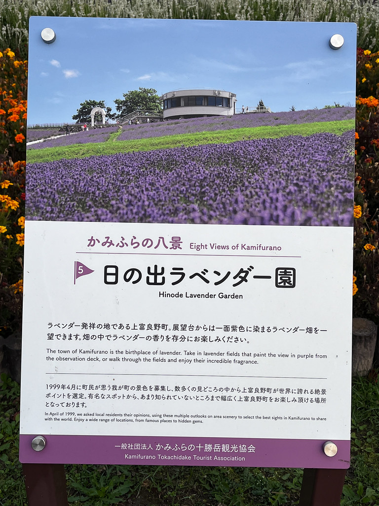
    By the end of the day, we reached the Hinode Park Campground in Kamifurano that is located on a hill. The spot we picked is scenic and everything else is splendid except that they didn't allow charging electronic devices, which is rather surprising because at 800 yen per person, this campground is rather expensive by Japanese standards. It seems that charging will be the biggest issue we have to face in this journey.

    The full take — 28 more photographs from this day
    IMG_1194 IMG_1196 IMG_1199 IMG_1206 IMG_E1209 IMG_E1212 IMG_1213 IMG_E1215 IMG_E1217 DSC_3204 IMG_1222 IMG_1224 IMG_1227 IMG_1228 IMG_1230 IMG_1232 IMG_1235 DSC_3212-HDR DSC_3225-HDR DSC_3233-Pano-2 DSC_3237 DSC_3248-HDR DSC_3255 IMG_1246 DSC_3268-Pano DSC_3274 IMG_1257 IMG_1259
    Ride replay on Relive
  • Day 02: Sapporo to Naie

    Date
    2022-10-13, Thursday
    Distance
    70.68 km (76.68 km in total)

    Our enthusiasm to pack up early to catch the express train to Wakkanai was met with dejection: We were told our bike’s dimension was too large to be allowed on the train. Since I have both front and rear racks, even with both wheels removed the final dimension is still too large. According to the diagram shown on the train station wall, only folding bikes seem to meet the requirement. So what should we do? The train is leaving in 15 minutes and there is no way I could decompose my bike entirely on time; we were doomed to miss the train.

    So instead of taking 5 hours of train, we decided on the spot to bike 7-8 days all the way to Wakkanai then head southward. This sounds crazy and silly but we have had no better choice. Japanese seems to be utterly concerned with observation of rules and social customs that there is no need to plea or argue with the staff. What disappoints me though, is that we showed the picture of the covered bike to several workers at the train station yesterday and they all said it’s ok for us to board on the train. But in the end it turns out to be the opposite.

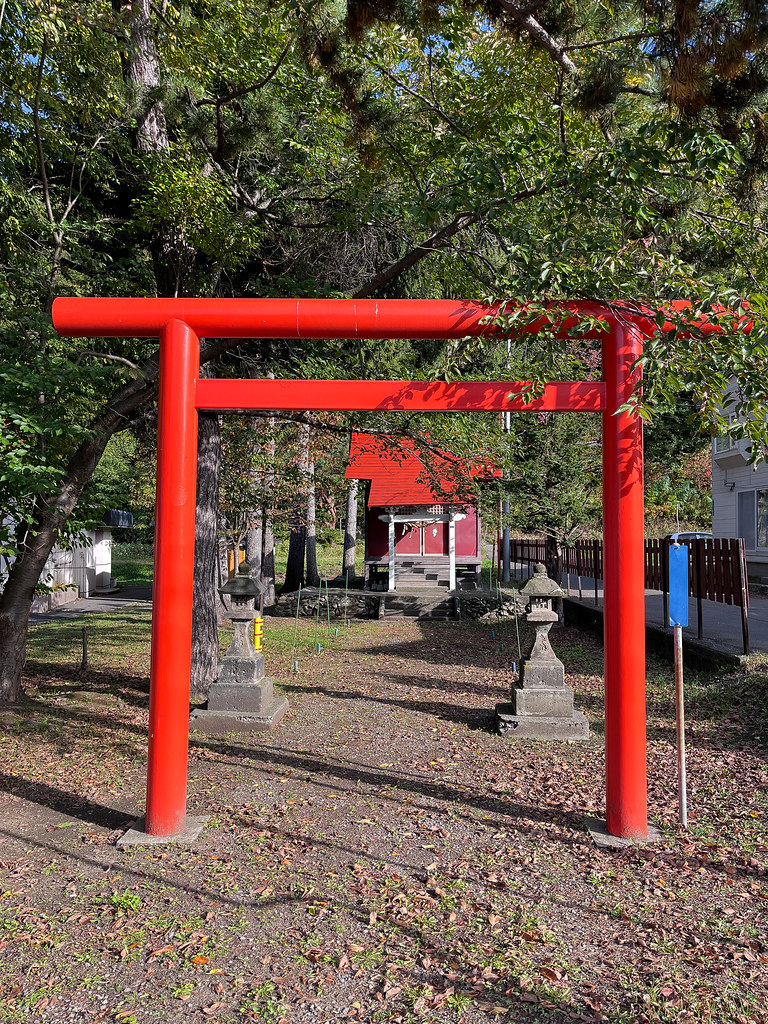
    On a positive side, I got the chance to eat a breakfast in the Japanese style and obtain a Sapporo postmark for my Postkard project. We also visited a small Shinto shrine to pray for better luck and no more unfortunate surprise on this journey before heading out on our bikes.

    The suburb of Sapporo is filled with separated recreational paths that make cycling through the area more pleasant. Today’s ride is mostly on a country road that has what I call a ‘semi-shoulder’ — meaning that there is enough of space for a bicycle even though it is not sufficient for a full-size car to park.

    Japanese cars are very kawaii (‘cute’): considered to be ‘light-weighted’, they are generally smaller than the North-American equivalents, including the mini-vans. They are quiet and relatively slow; the maximum speed allowed on those roads are often 40 or 50 km/h, instead of Canada’s 60 or 70 km/h. Plus most of Japanese drivers take the care to stay away from us, so it doesn’t feel threatening or scaring at all to share roads with cars.

    Japanese houses are also kawaii: they are tiny — even the country farm house is so — and interestingly painted. Japanese people seem to use up every meter square available to them, whether for growing crops or for building residences. I realised that farmers may not have space to welcome two travellers with a tent, as the parts of their land that are not farmland are the space in front of the entrance and the driveway. It doesn’t make sense to camp on these spaces. Moreover, their property is often unpaved, filled with sharp rocks that makes camping unpleasant.

    Camping is an issue in Japan. All campgrounds require reservation; we cannot show up on the day to ask for a spot. When I called at 3:30 pm a campground that was still 1.5 hour away, the staff asked us to arrive by 4:30 pm. I replied that it’s impossible because we were biking (thus cannot accelerate) but would arrive before the closing time that is 5pm, the staff appeared to be hesitating. From my Japanese courses I understand that hesitation means a no, so I told him we would go somewhere else. Japanese people are very indirect. They don’t refuse others with a clear no.

    Roadside stations (道の駅) which provide 24-hour heated washroom are all over the country. During the opening hours, they also serve as restaurants and touristic information centres. By the time the sun set, we arrived at the roadside station in Naie. We first asked the restaurant staff for a spot to pitch our tent. She replied that we couldn’t do so here and referred us to the campground whom I called earlier. Then we went to ask the station administrator for advice, he on the contrary showed us a grassy area where we could camp. So here we stayed!

    The full take — 23 more photographs from this day
    IMG_E1126 IMG_1128 IMG_E1134 IMG_E1136 IMG_1140 DSC_3195 IMG_1143 IMG_E1145 IMG_E1148 IMG_1150 IMG_E1153 IMG_1155 IMG_1158 IMG_1160 IMG_1167 IMG_1171 DSC_3199 IMG_1177 IMG_1181 IMG_1184 IMG_1189-Edit IMG_E1191 IMG_1164
    Ride replay on Relive
  • Day 01: Sapporo

    Date
    2022-10-12, Wednesday
    Distance
    6 km

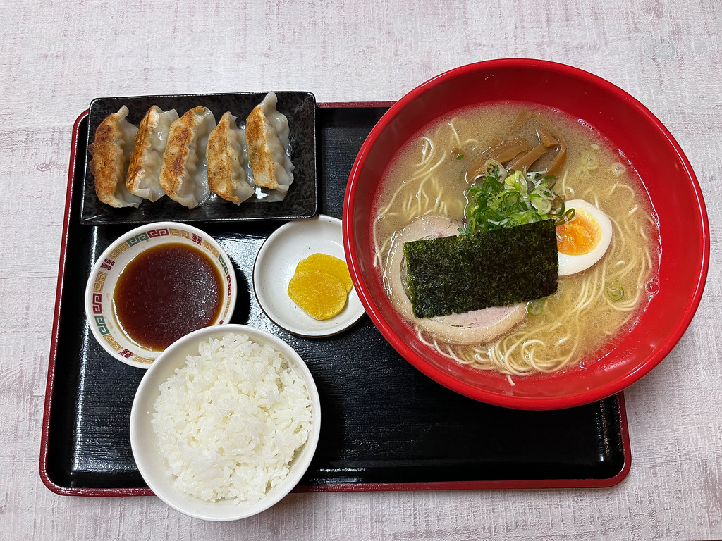
    By the time we set up our bikes, it was already noon. We began our first bike ride in the heart of Sapporo, from our hotel to the train station tower nearby. There is a Republic of Ramen that groups many well-known ramen restaurants in one area with old-style decorations. I purposely ate my first authentic ramen wearing the Ramen Cat t-shirt that my friend bought for me from Taiwan.

    Biking in Sapporo is a pain. Most of the time people bike (without helmet) on the sidewalk that is designated to be shared by pedestrians and cyclists. I need to constantly avoid people so my speed is not very fast. Bikes are allowed on the outer edge of the street only when blue arrows are printed on the ground. Sometimes, the ride is so far from being smooth that I just want to bike in the street.

    This aside, the real pain is parking. There seems to be very strict rules about where one can lock one’s bike: in the designated areas only, everywhere else is marked with 駐輪禁止 (‘no bicycle parking’). Most of these parking lots are payable and reserved for residents. When going from place to place, we need to look around a long time to find a parking, then walk a long way to our destination. This is utterly inconvenient.

    Unlike in Montreal, Asian cities are filled with tons of overpasses at a crossroad for pedestrian to cross the street. Sometimes it’s even roofed. I wonder how the elderly population sees this. They seem to handle this inconvenience of climbing up and down the stairs with grace. In Montreal, pedestrians are the kings/queens, meaning that normally pedestrians get the top priority to cross a street. At popular intersection in downtown, every green light can often only allow 1-2 cars to turn.

    The night falls fairly early, at around 5:30 pm. Stores also close early at around the same time except restaurants. So we did nothing serious beside eating. The tourism industry seems to have waned considerably due to the pandemic; I didn’t see anywhere that sell postcards.

    I got back to our hotel before 9:30 pm to prepare for an online interview with a graduate student in art history whom I met in Montreal this summer. Very interested in my attempt at merging some aspect of mail art with the philatelic tradition, she asked a lot of details about the genesis of my idea, my Ukraine and Postkard project, and thought that my paying visit (which I called pilgrimage) to location and post office a performance. It was nice to speak to someone about my art.

    Tomorrow, all the way to Wakkanai and Cape Soya!

    Ride replay on Relive